View Isla Carmen in a larger map
Carmen Island 26° 03′ N
111° 09′ W
The largest of all the islands in the Loreto Bay Marine Park Isla Carmen has a lot going for it. One of the few privately owned islands in the Sea of Cortes and the rumors seem to be that the island is owned by Carlos Salinas de Gortari. Mexicos ex president from the early nineties who famously gave Carlos Slim the Telemex. Mexicos largest monopolistic telecommunications company’s, thus making him one of the richest men in the world. Those are the rumors anyway as of this writing, December 2012. In the future I will have more information on if that rumor is true.

Anchorages: Check the custom google map above for an overview of the most popular anchorages. In calm weather you can anchor just about anywhere you like on isla Carmen, the largest island within the Loreto Bay Marine Park. Below popular of the many places to drop the hook.
Ballandra 26° 01′ 04″ N
111° 10′ 06″ W
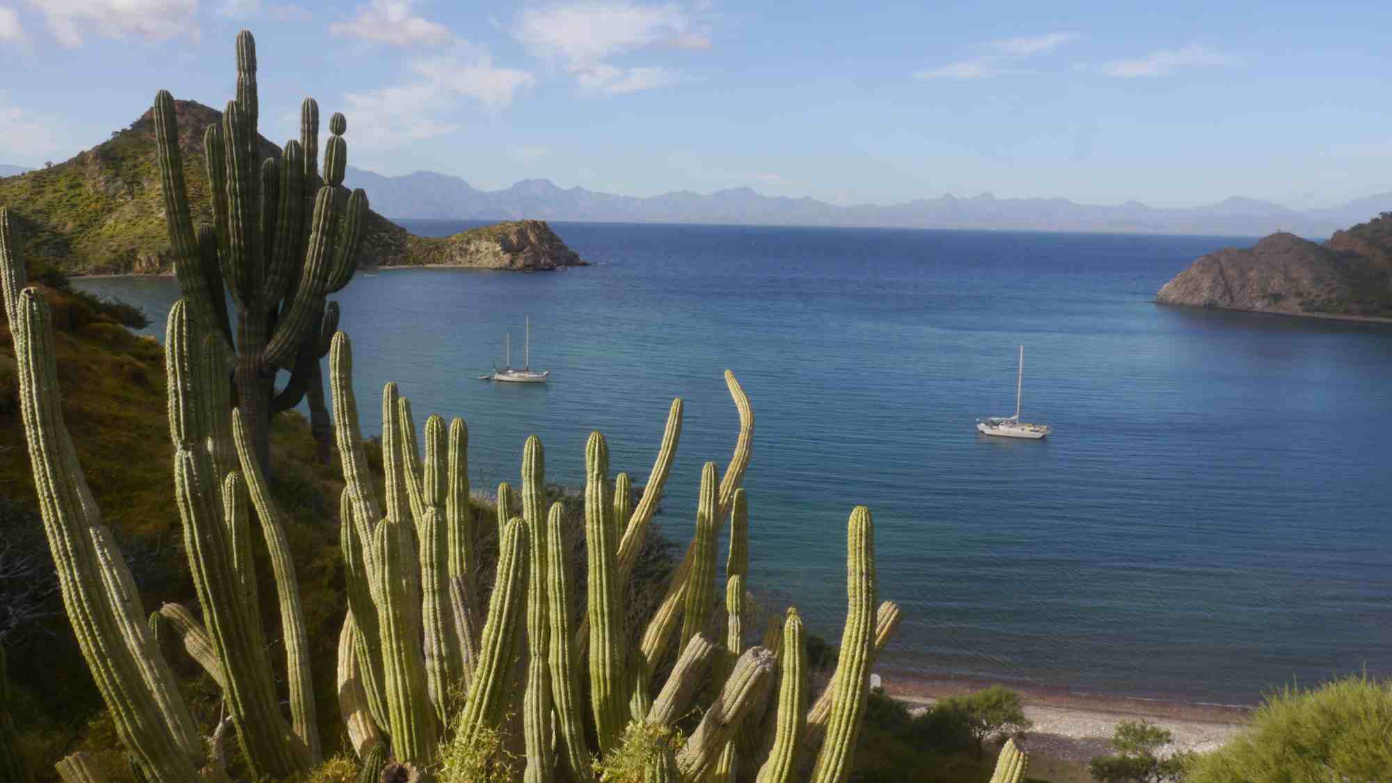
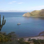
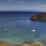
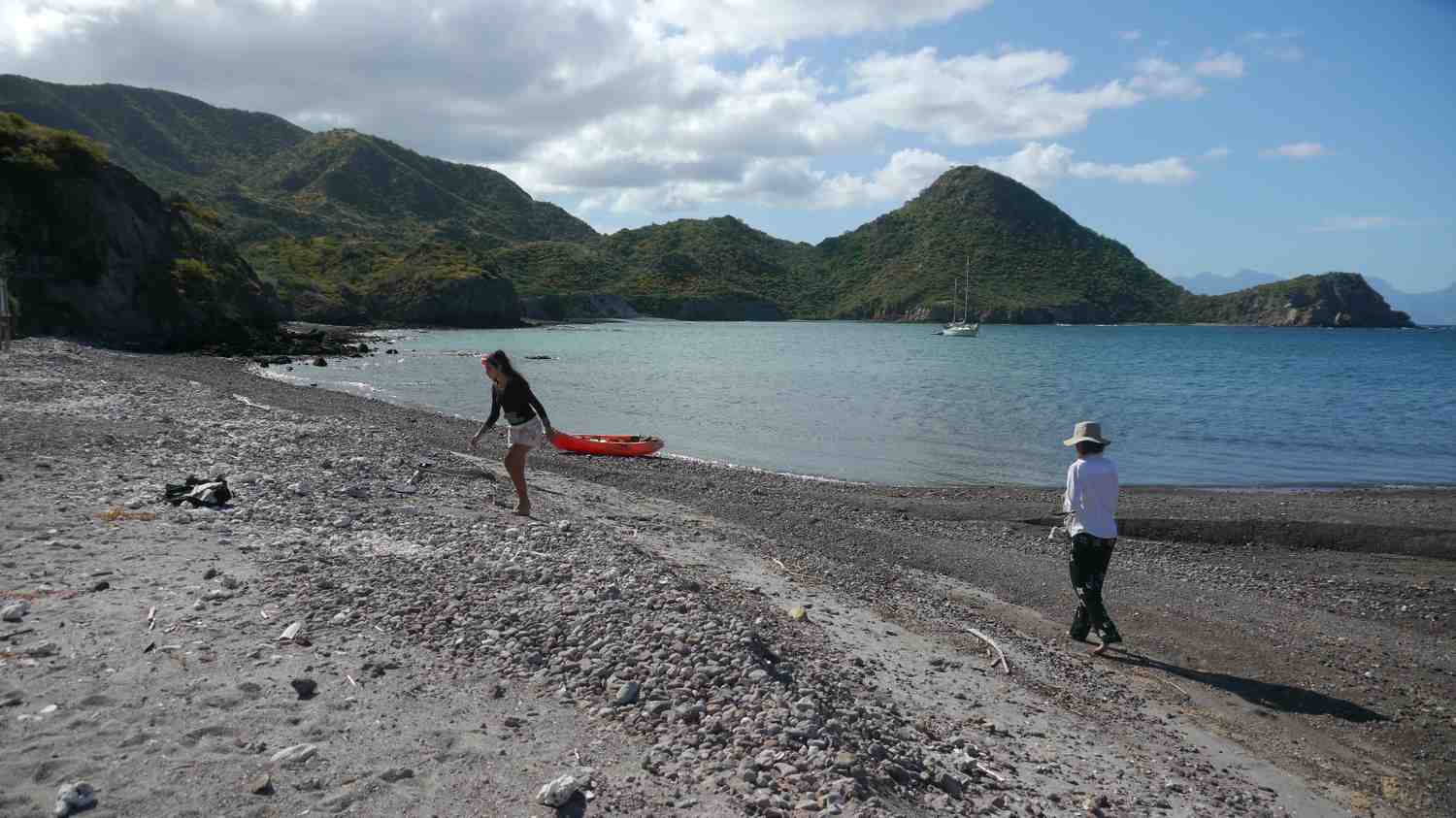
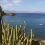
Ballandra:Probably the most protected, most used best anchorage on the island. Ballandra is located 9 miles almost due east of Loreto on the east side of Carmin about

1.5 miles south of Carmens north west point. When entering Ballandra be careful of the not obviouse but very shallow reef that lies just off the North point of the bay. This reef hazard is clearly visible on the custom map at the top of this page. When entering the bay it is best to stay slightly right of cetner. The calmest spot in this small protected port is on the north side of the bay where only the rarest of south westerly winds might cause a slight swell. In a strong north westerly wind though the southern part of Ballandra will get rolly and I have seen mono hulls there forced to move to the north side of the bay, if there is room, to avoid the mono hull shuffle!


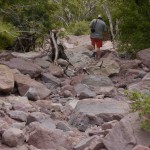
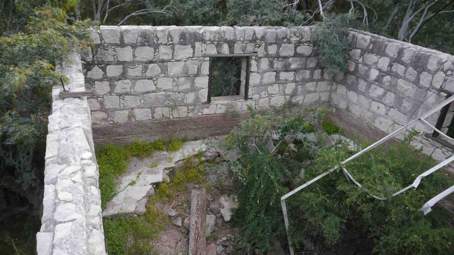
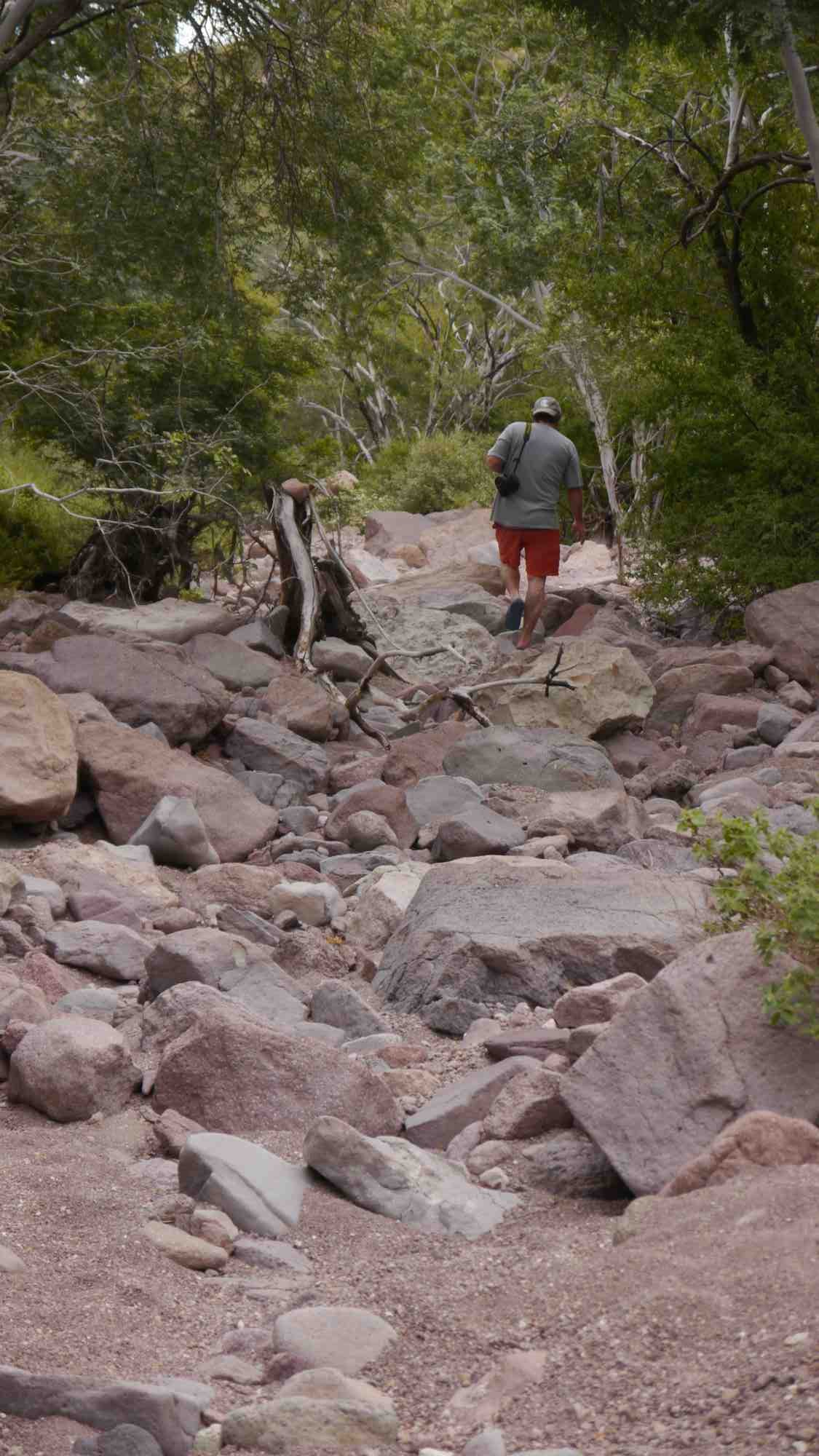
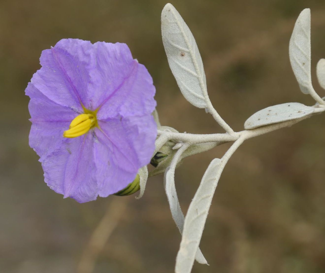
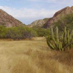
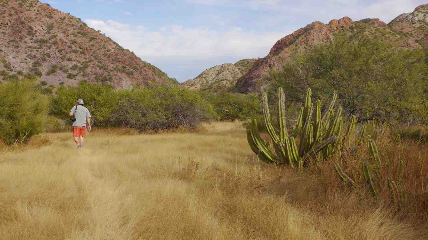
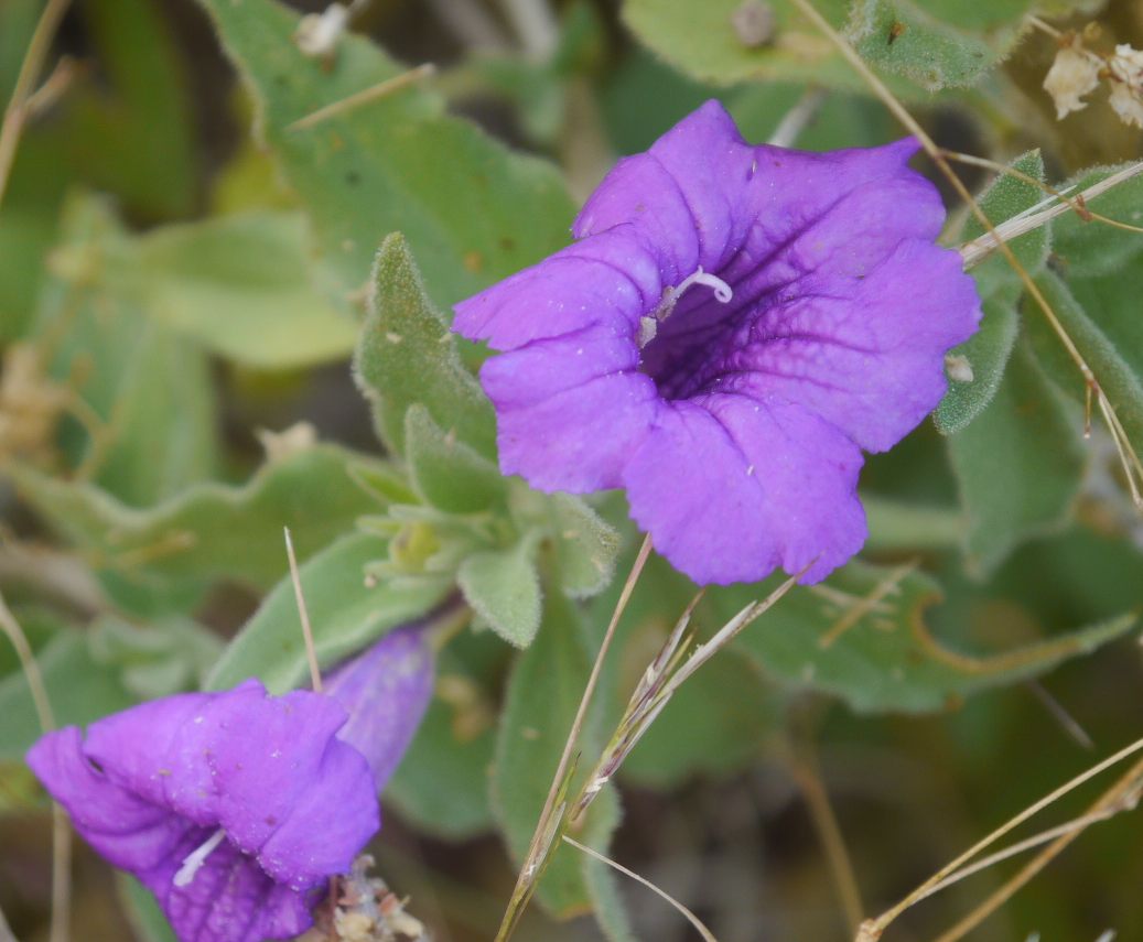
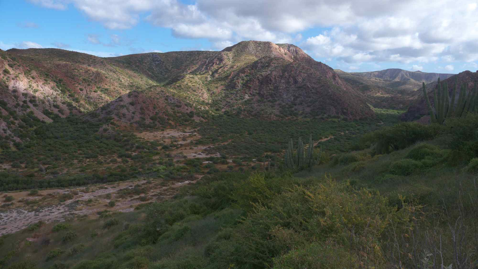
Hiking inland from Ballandra: Now when I was last in Loreto, December of 2012, a good friend of mine who happens to be a local kayak guide told me that there was a great hike from Ballandra to the salt ponds on the other side of the island. On google earth a straight line to the salt ponds is around 3.6 miles but walking it looks to be more like around a 4 mile one way hike through a huge arroyo that cuts through the island east to west and eventually leads to a steep elevation gain and then switchbacks up a pass then down to the salt ponds. A friend of mine and I did indeed hike less than half way to the salt ponds. See map above. We stopped our hike at an old building constructed in 1921. We found many small wild flowers in bloom on the hike and encountered not one nor two but three very decent sized tarantulas. Never in all my years of hiking the Sonoran desert have I seen so many tarantulas so quickly. We also found the skull of a desert bighorn sheep on the hike. Now absolutely

no where on the beach or at the rather well marked trail head was it mentioned that you could not hike on the island. Actually the trail head is so well marked it invites people to hike up the arroyo. After returning to Loreto another friend of mine told me that it is prohibited to hike on the island, unless of course you have payed tens of thousands of dollars to hunt desert bighorn sheep. I have since read several forum posts

where cruisers have been told by caretakers out of Salinas that you are not allowed to hike on the island. There is a saying in Mexico, Es mejor pedir perdon que permiso, which basically states it is better to ask forgiveness than permission so I think the next time I am at Carmen I will most likely go hiking again and if I get caught I will plead ignorance and simply ask for forgiveness, since there is no sign telling you that you can’t hike! Ah Mexico I love this country!!
-
- Isla Carmens Puerto Ballandra
-
- Hiking the arroyo

-

- Mr. Tarantula, one of the many we encountered
-

- Desert Bighorn Sheep Skull Isla Carmen
-
- Abandoned ruins of Isla Carmen
-
- HDR image of Balandra looking west
-
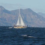
- a sailor reaches to Balandra from Loreto
-
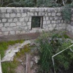
- Old Ruins
-

- Hiking on Isla Carmen
-
- Many wild flowers in December
-
- trail to western salt ponds of Isla Carmen
-
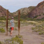
- Well marked trail head

-
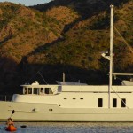
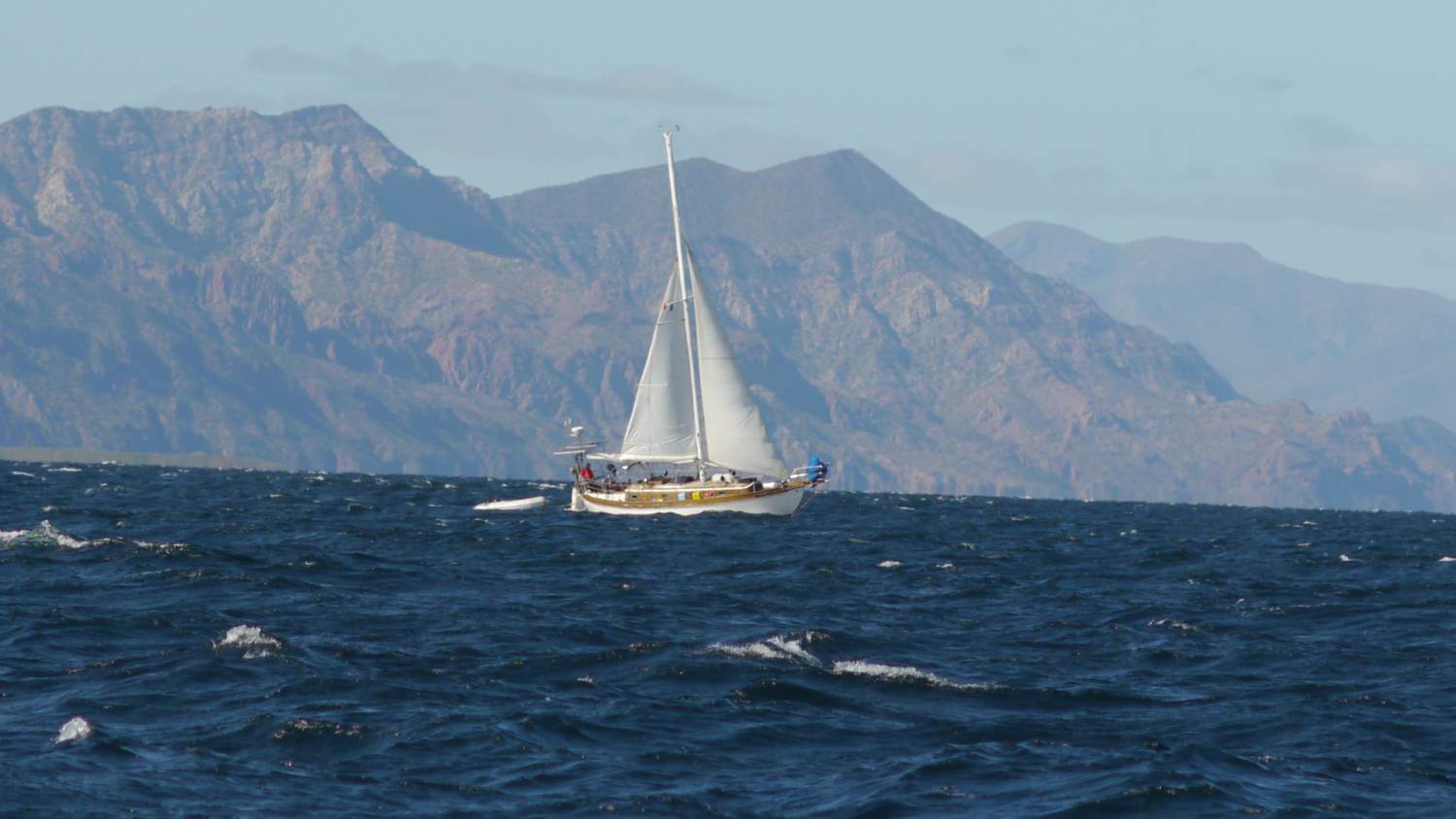
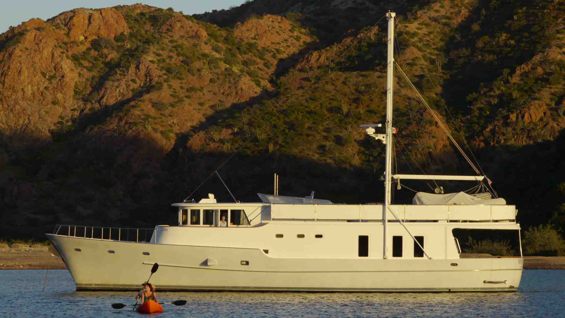
- a classic motor yatch
-
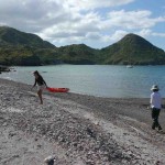
- beach at Ballandra looking south
-
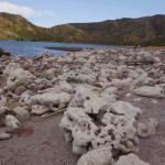
- Coral filled beach

-
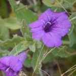
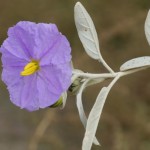
- purple flower isla Carmen
-
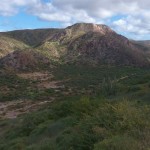
- the canyon leading west
-
- boats and cactus Ballandra