

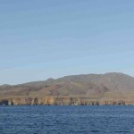
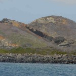
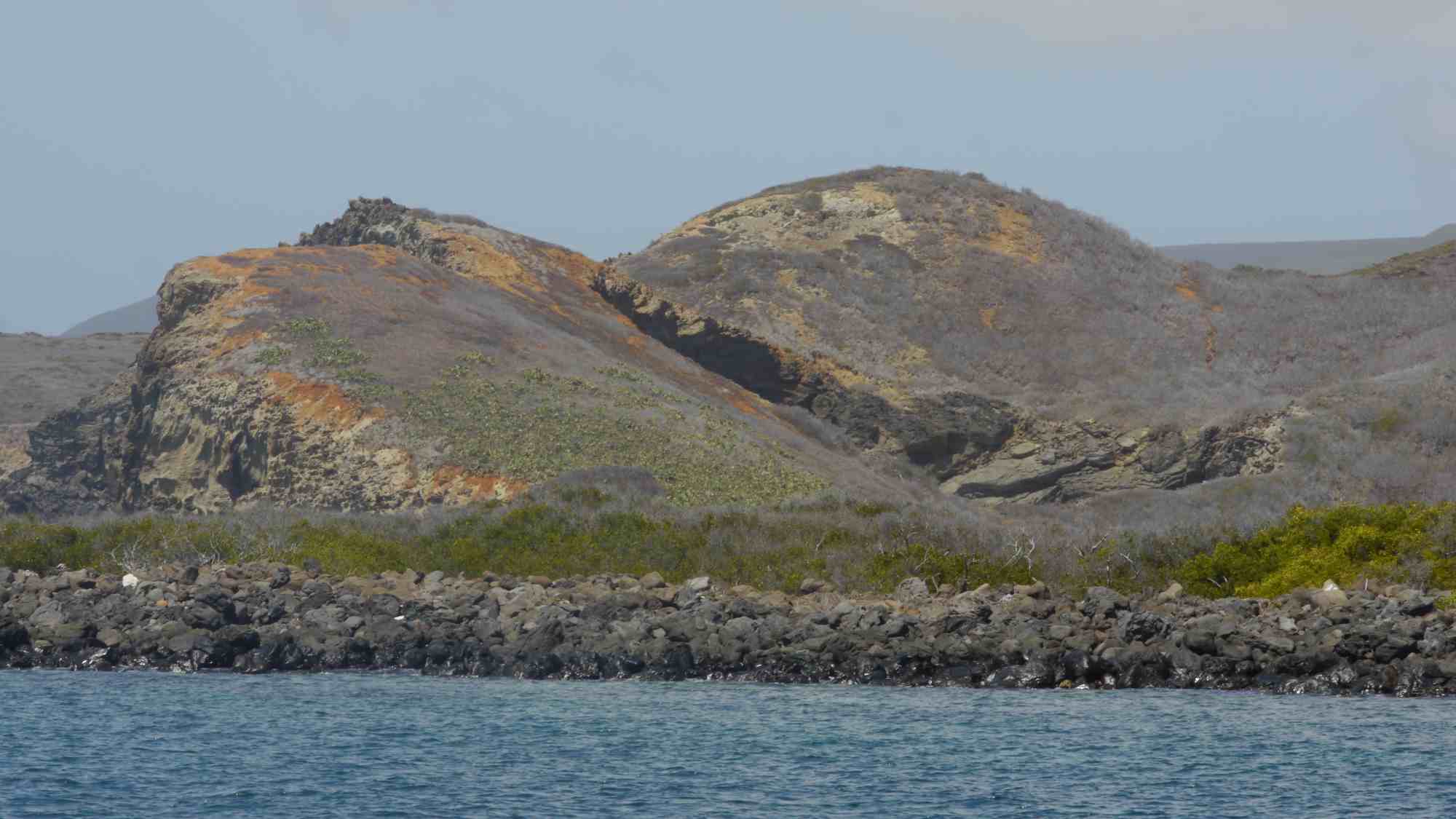
Socorro island is the largest of the volcanic islands in the Revillagigedo archipelago which consist of essentially three islands, Socorro, San Benedicto and Isla Partida. A Mexican possession lying some 335 nautical miles almost due west and a bit north of Banderas Bay & Puerto Vallarta. The island GPS coordinates are 18°48’N, 110°59’W. The dimensions of Socorro are 16.5 by 11.5 km, with an area of 132 km².


Looking West
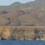
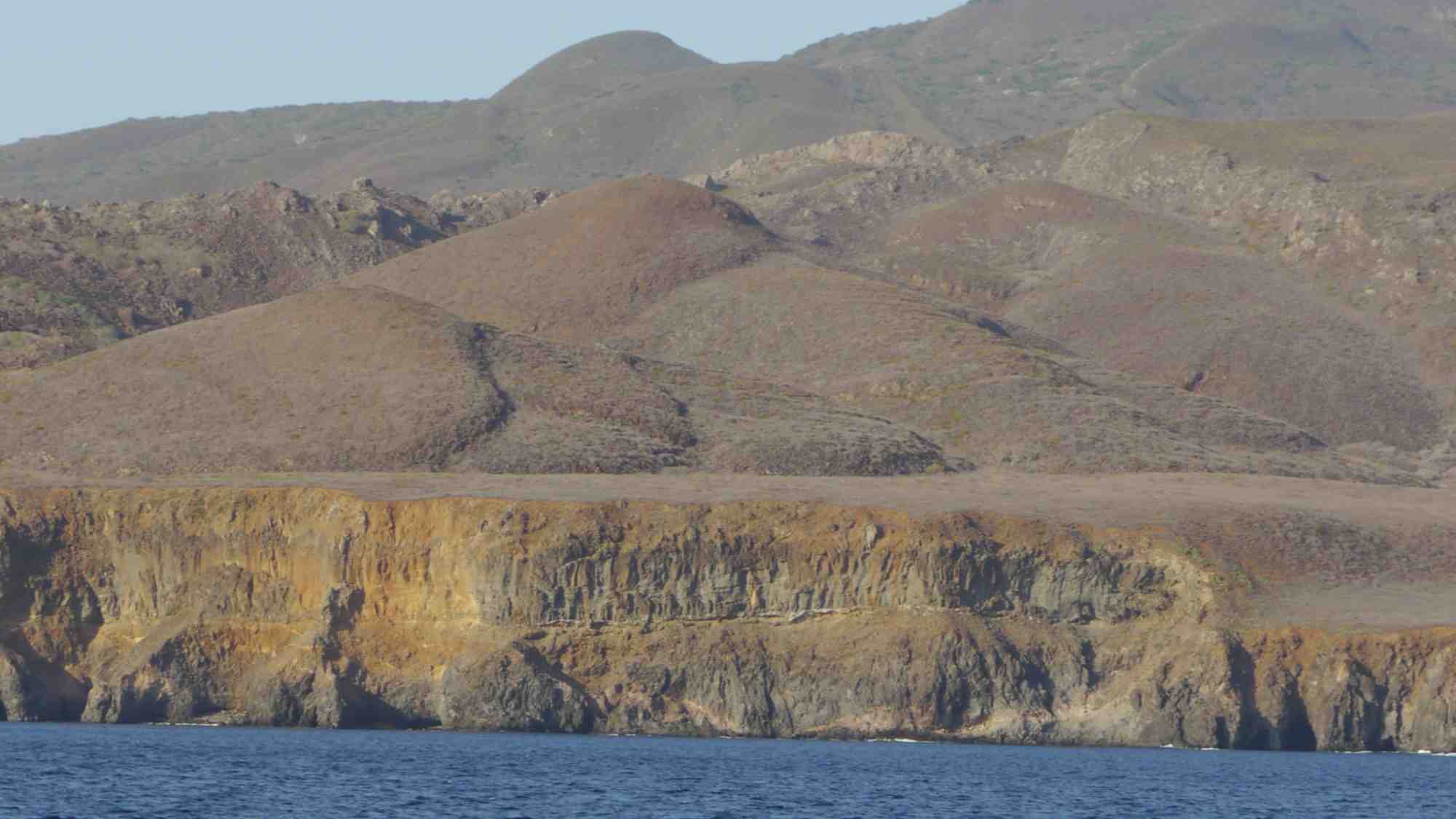
The island rises abruptly from the sea to 1050 meters (3,445 ft) in elevation at its summit. Isla Socorro is a shield volcano which most recently erupted in late January-early February 1993.

Isla Socorro
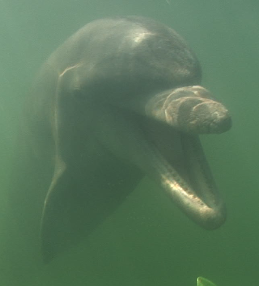
The marine life that inhabits the area is in a single word astounding. The Revillagigedos archipelago is perhaps best renowned for the large population of the Pacific Giant Manta Ray’s. The mantas of Socorro endlessly circle the island gorging themselves on the plankton rich and crystal blue waters that surround the Volcano. On our last visit to the islands in June of 2012, my 4th trip there , our welcoming committee consisted of bottle nose dolphins in large numbers.

Somersault feeding @
Isla Socorro
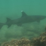
Sometimes called Mexico’s “little Galapagos” Socorro boasts large populations of other pelagic animals besides the Giant Manta, such as Schooling Hammerhead sharks, silky sharks, Galapagos sharks, tons of jacks and barracudas, tuna, wahoo, oceanic white tips sharks, and whale sharks. Socorro is a stunning dive site and I have seen most of the animals on that lengthy list.
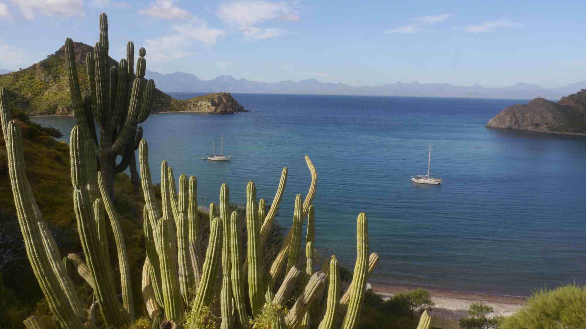
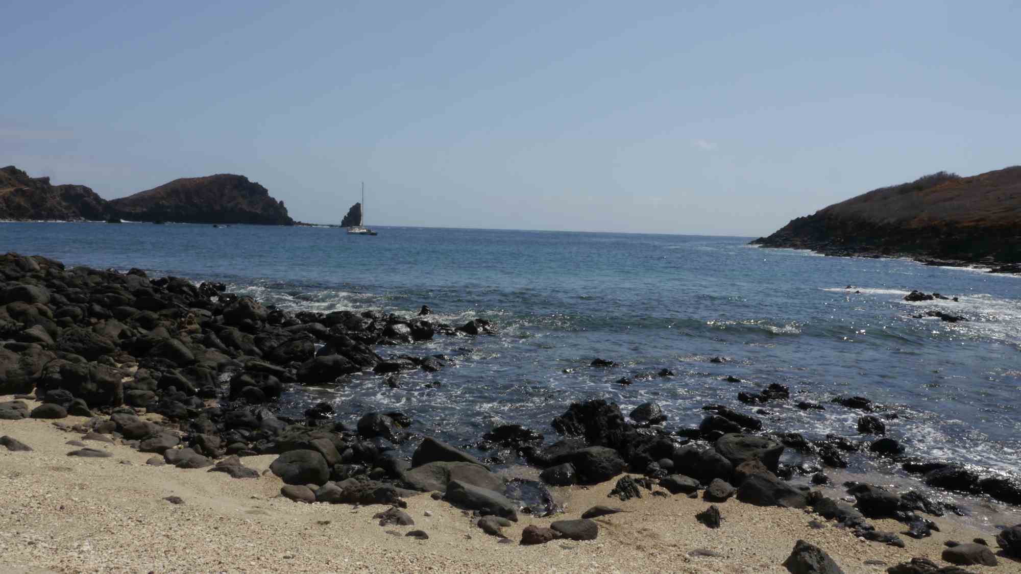
Because of its size and topography good anchorages abound all over the island for the adventurous sailor who might journey off shore to stop here yet I have only seen one other sail boat at the islands over the 4 times I have ventured there. If you should visit the island and spend any amount of time there you will most likely run into some of the long range dive charters that visit the island year round.

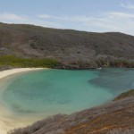
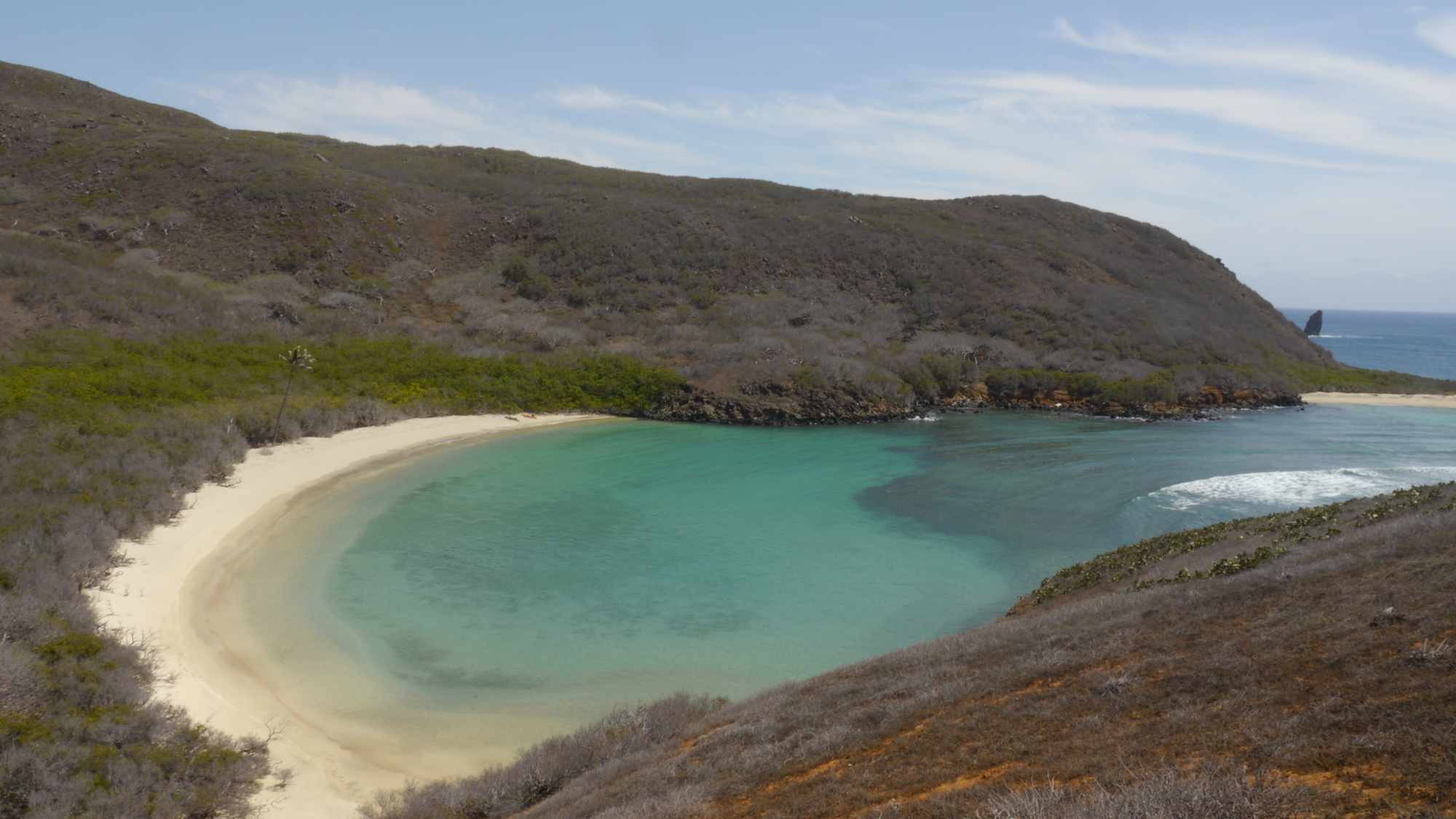
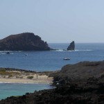
Socorro Island Blue Lagoon
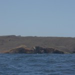
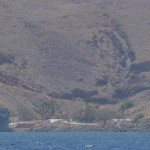
Socorro is about 40 miles south of San Benedicto and 75 miles east of Roca Partida. There is a Naval Station on Socorro that was established in 1957, with a population of 250 (staff and families), living in a village with a church, on the southermost point of the island. The station is served by a dock, a local helipad and landing strip. On past trips to the islands we were often buzzed by the Navy patrol plane and visually inspected, but not boarded, by the patrol boat. I have spoken with other sailors who have been boarded by the patrol boat and the Navy has been very helpful and courteous even offering to top off the diesel tanks of one cruising sailboat.

from due west

On this last trip of ours we tried to contact the navy base by VHF radio to check in but they never replied and only when we sailed directly in front of the Naval base and we were spotted did they call us on the radio. We had a favorable wind and didn’t wish to return to the dock for inspection and mentioned this to the radio operator requesting that we be allowed to check in by radio which was permitted. Thus we never got a chance to go to the naval base and check it out. On my next trip there I think I will formally check in just to check out the base.

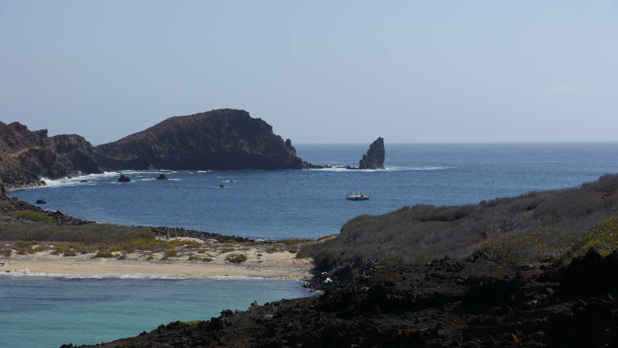
Marking Entrance to Blue Lagoon
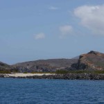
The Blue Lagoon of Isla Socorro

image of Blue Lagoon
If you look at a chart of Isla Socorro, the most recent being drawn in the 1800’s, and find the Oneil rocks then go a bit south then east to the north west point of the island what the topography of the chart tells you is that the Blue Lagoon of Socorro simply doesn’t exist. Now the same thing goes for the Google Earth image at left. The Lagoon is located were the old sat image begins and the new sat image ends masking the topography of the area and thus making the lagoon a truly hidden location
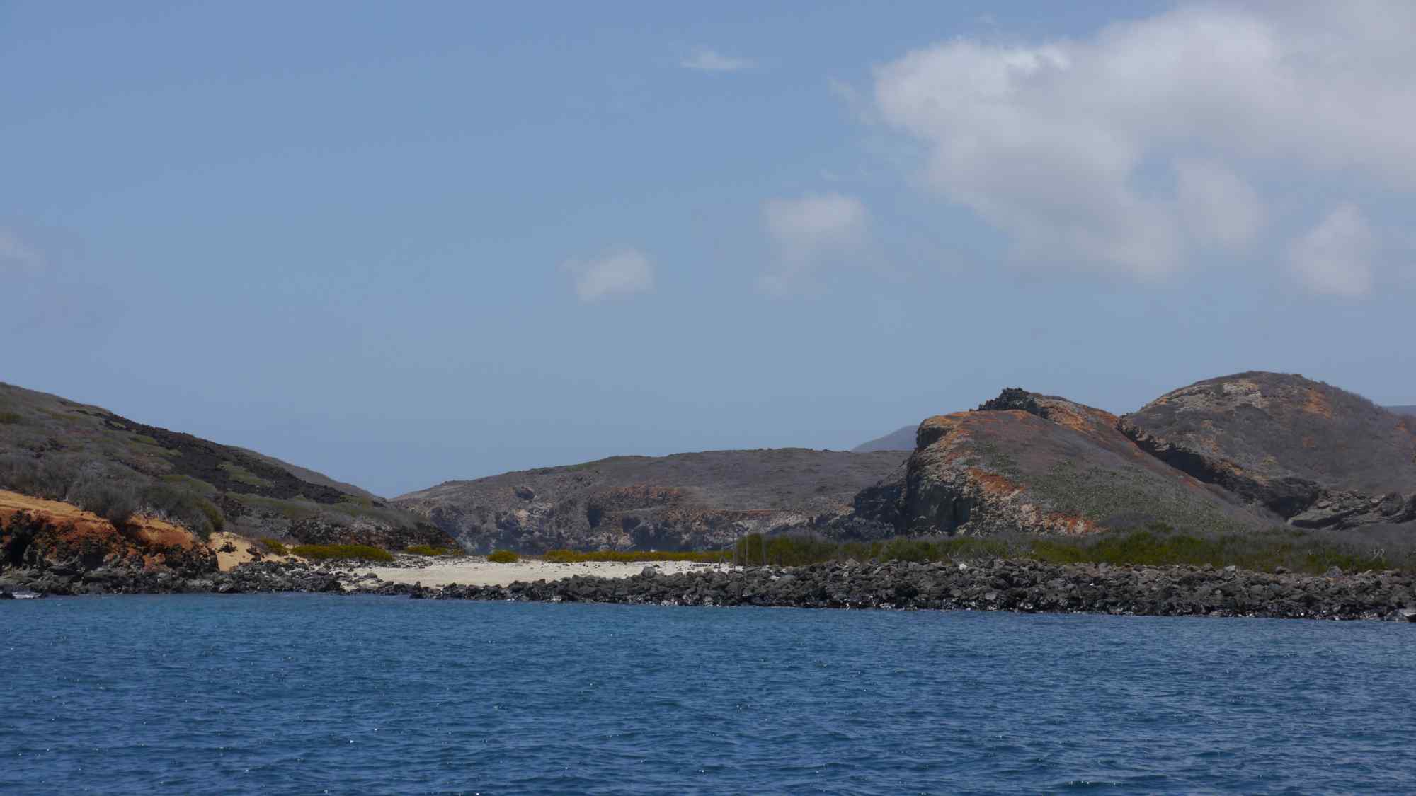
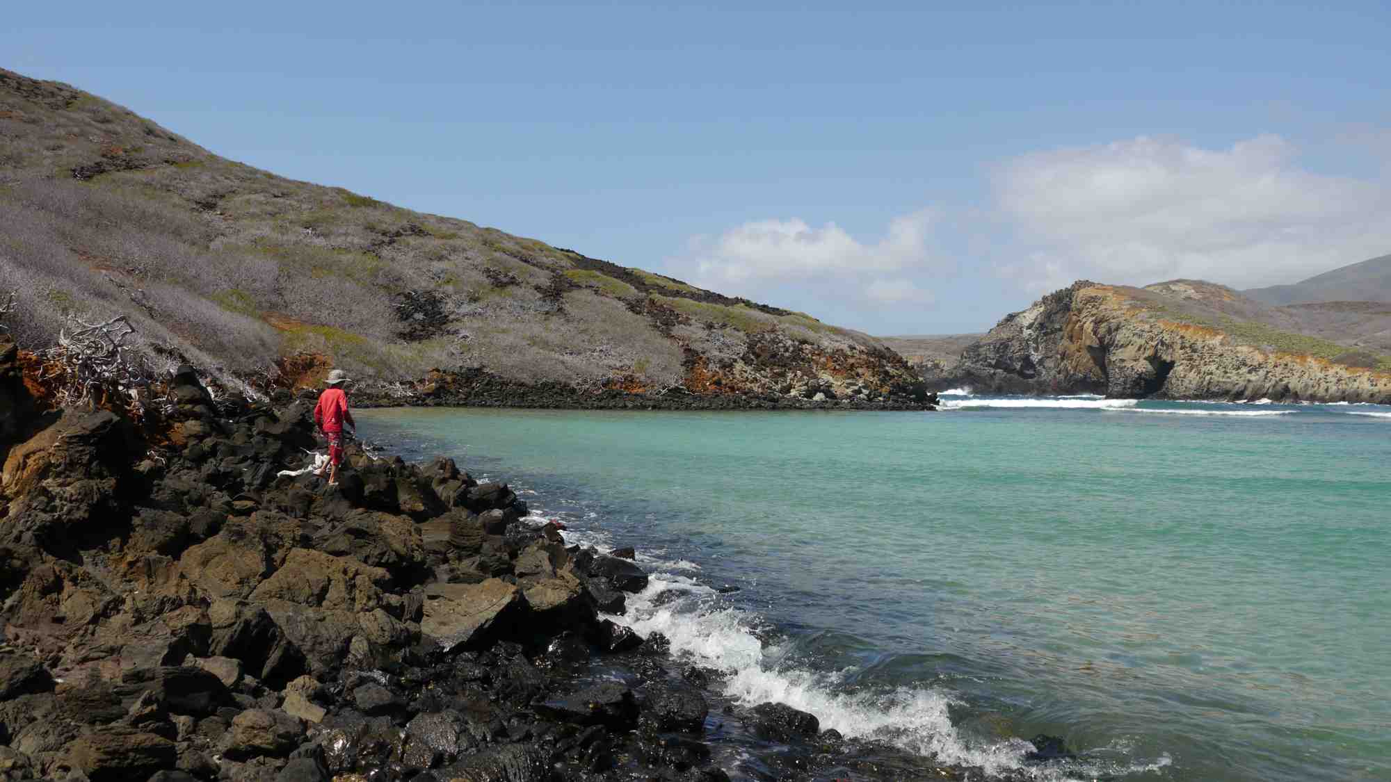
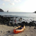
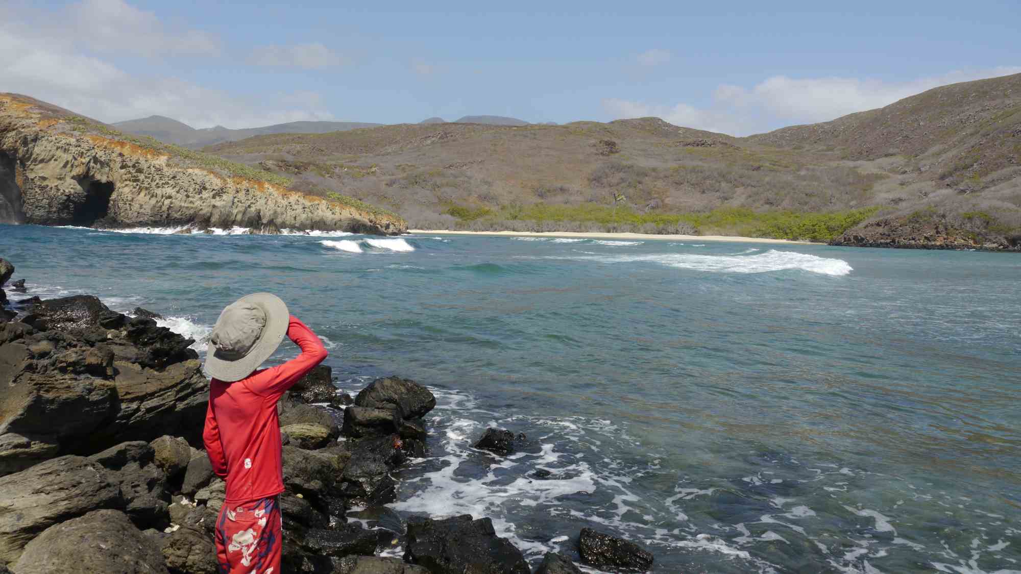
You can anchor approaching the lagoon from the west in a small cove in

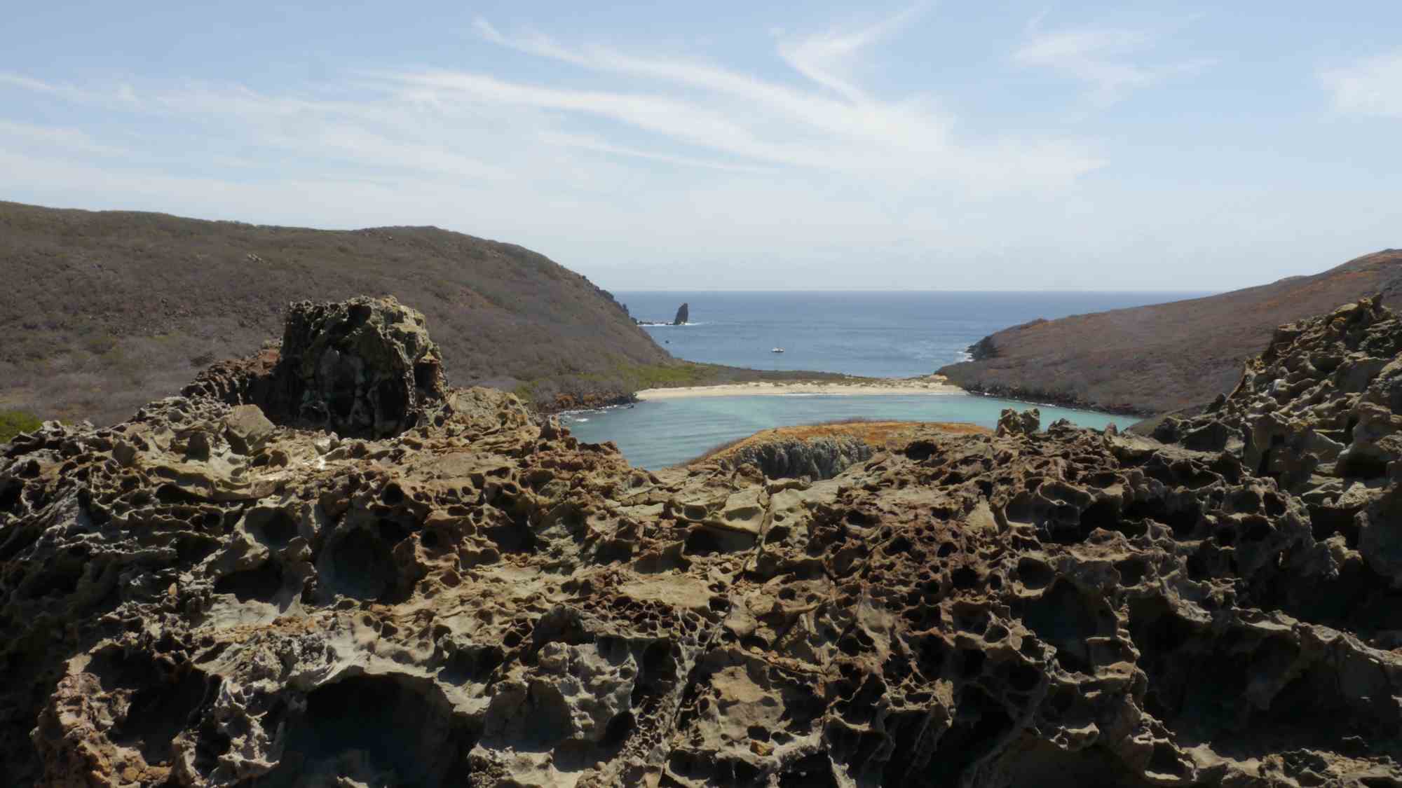
Blow Hole pictured at western entrance to the lagoon
The circular area at point marks the blow hole
about 35 feet of water. I have now anchored at this spot in winter and summer time and while the anchorage is a bit tight you can certainly pull if off. I actually did it with just one anchor so there is no real need to use a second anchor. I like the idea of one anchor anyway in case I have to get out of there fast should the weather change since retrieving two anchors is always more difficult when wind and waves pick up in an anchorage.
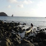
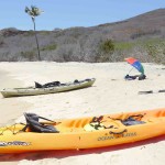
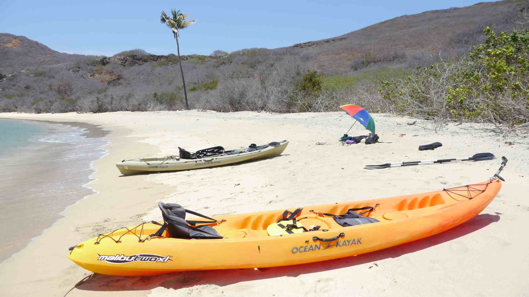
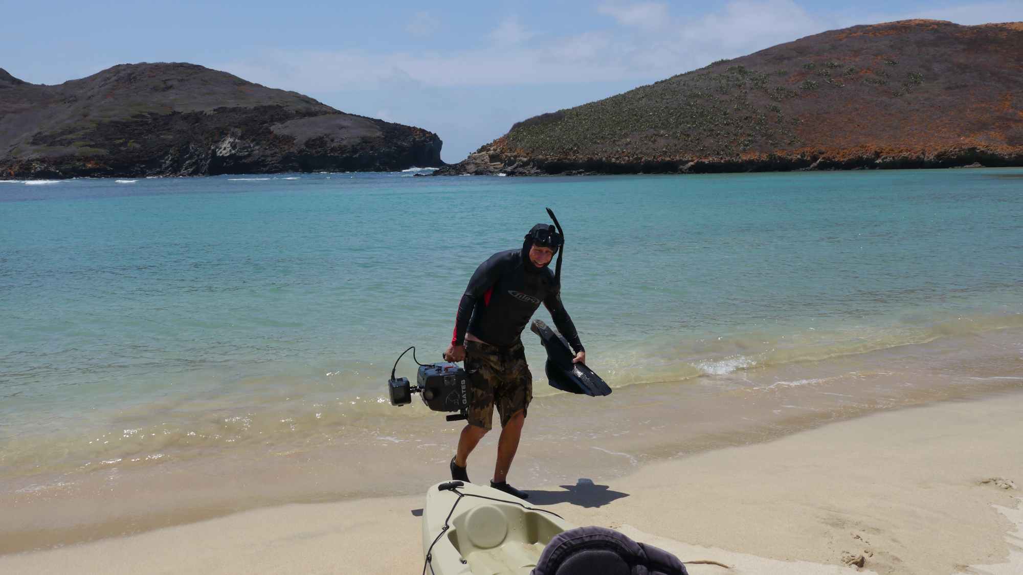
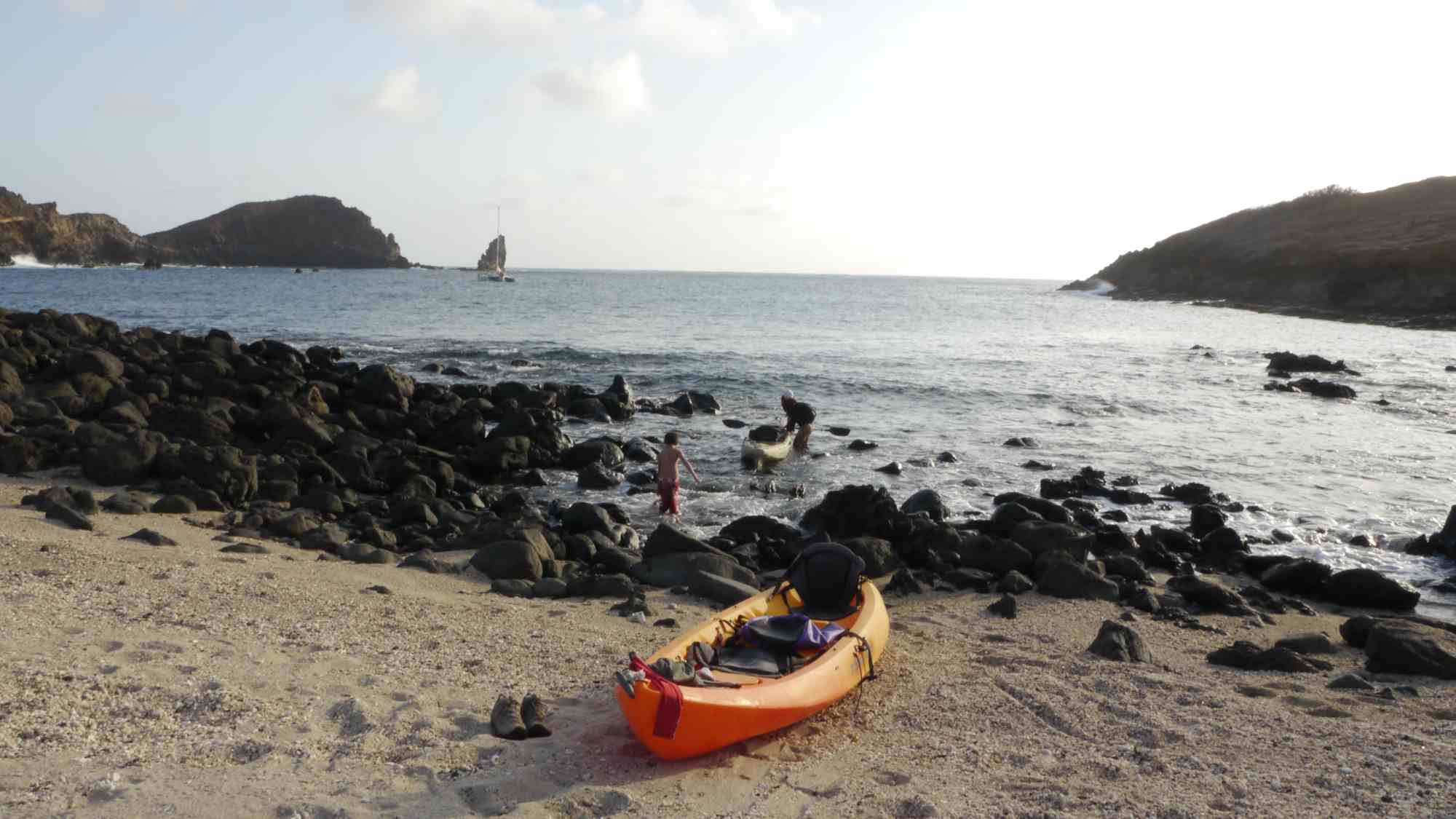
To access the lagoon you must kayak to the small sandy beach negotiating through the large slippery black rocks that guard access to the beach. A dingy would suck for this. Portage over the beach and you will find a place that is right out of dream but better than a dream because it is oh so real. Now it

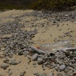
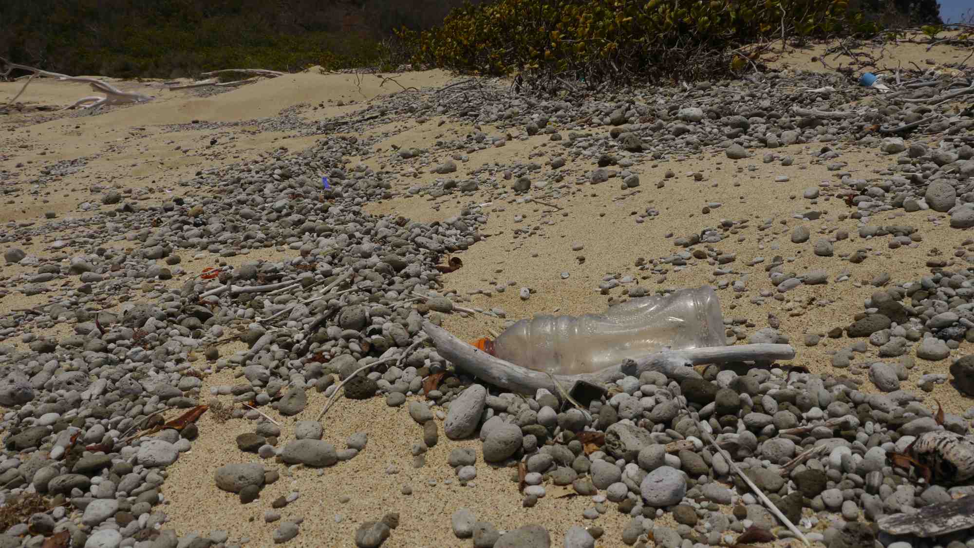
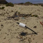
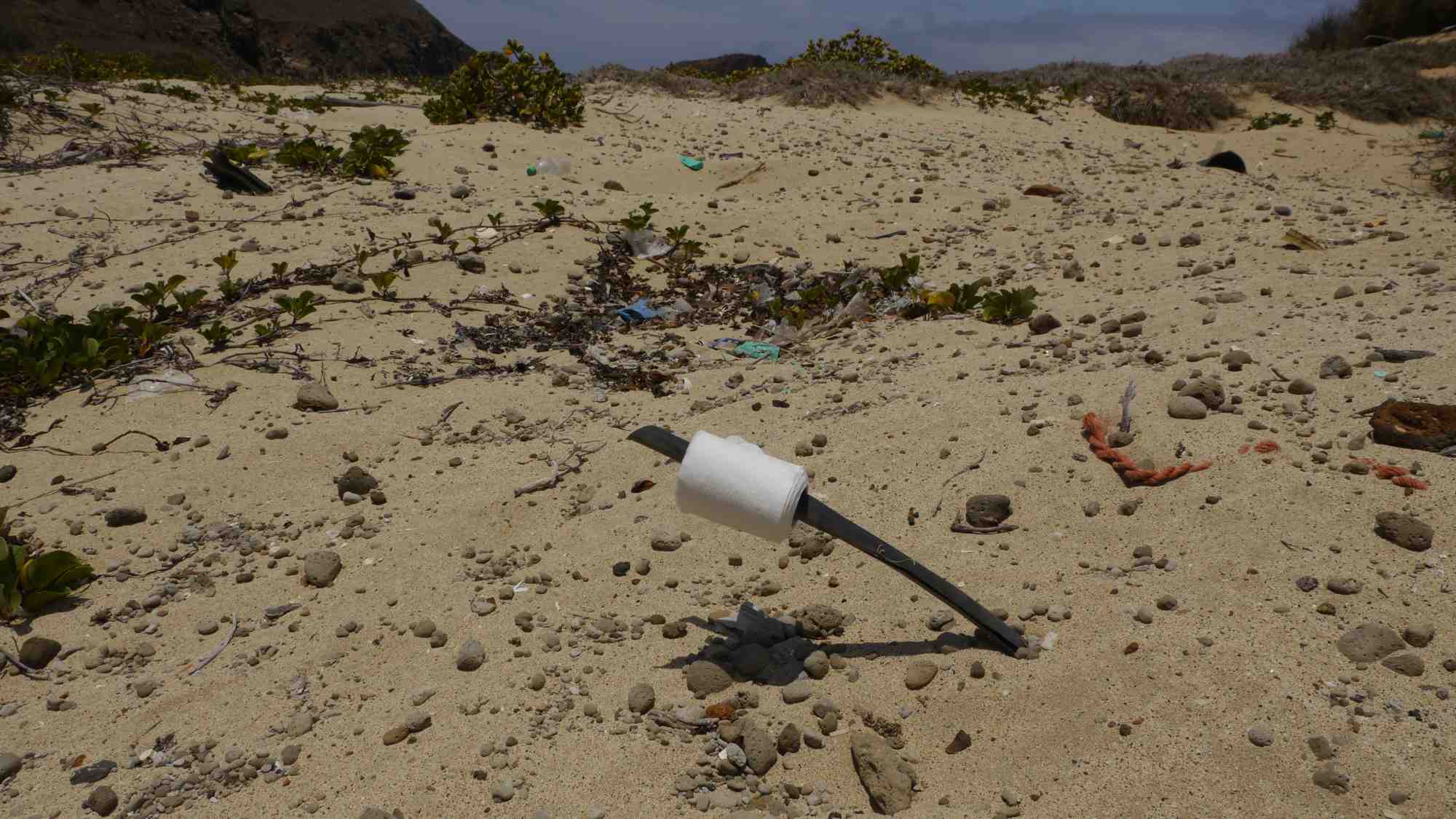
would be nice to say that this place is completely untouched by human hands but that is not the case. Since the presence of man kind can still be found here mostly in the form of plastic garbage that has arrived here from God only knows where, especially on the western beach of the lagoon. The eastern beach actually has not a scrap of plastic or garbage on it and it would seem that there is more flotsam and Jetsam on the east side than I recall in previous visits here. You will also find some paraphernalia on the beach that I am sure came from the naval base since there is little doubt that the marines stationed at Socorro come to the lagoon and camp.
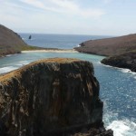
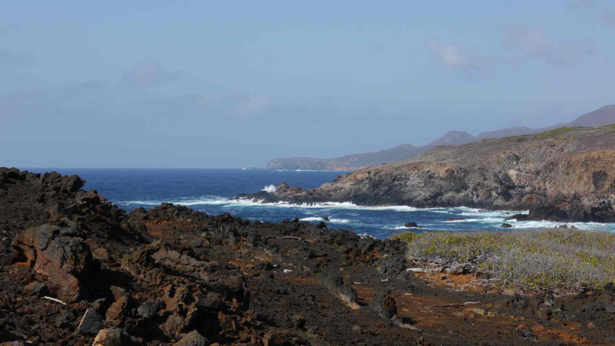
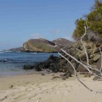
There is a lot to take in at the Blue Lagoon. Located a few hundred yards from

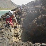
the beach portage you will see to the north a large section of dark volcanic rock barren of plant life. I suspect this is do the the rather powerful and exceptionally loud blow hole that exists here. If the tide and swell are just right you can see this hole blow from miles away and you can hear it from a great distance as well. It sounds not unlike a large freight train rolling through your living room when you are standing next to it. See attached video when I get it posted.
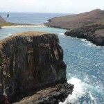
To the east of the the lagoon lies the western beach and then the grand arch. The true opening to the lagoon is directly between the Blow hole and Grand Arch. The lagoon itself is a rocky reefy place and there is good snorkeling from the eastern beach. To access the eastern beach you must either paddle or swim there. I highly recommend the former since the lagoon is full of oceanic white tip reef sharks that appear to enter the lagoon to rest from feeding sessions out side the lagoon. I spent a lot of time in the water

of Socorro Blue Lagoon
observing these sharks, some of which are fairly large, and none exhibited aggressive behavior towards me. Most of the time the sharks would lie on the sandy bottom of the ocean floor were the reef began and stay there motionless until I would get to close with the camera and disturb them. They would then disperse and after a few moments regroup to lie in the sand once again. There was also at least one turtle hanging in the lagoon on our last trip there but I could never get close enough to get a good pic to determine the species.
Some of my favorite Pictures of Socorro
-
- Eastern Beach from Arch
-
- Socorro Island West End
-
- Socorro’s Blue Lagoon Looking West
-
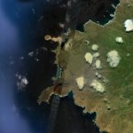
- Obstructed Satellite image of Blue Lagoon
-
- Blue Lagoon From top of Arch Isla Soccoro
-
- Portage to Blue Lagoon
-
- The Powerful Blow Hole
-
- White Tip Oceanic Reef Shark of Socorro Blue Lagoon
-
- Arch as seen from Anchorage
-
- Lagoon Entrance from Open Ocean

-
- Beach to Lagoon
-
- Socorros rugged coast looking north form blow hole
-
- Eastern beach of Blue Lagoon
-
- Western Beach

-
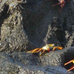
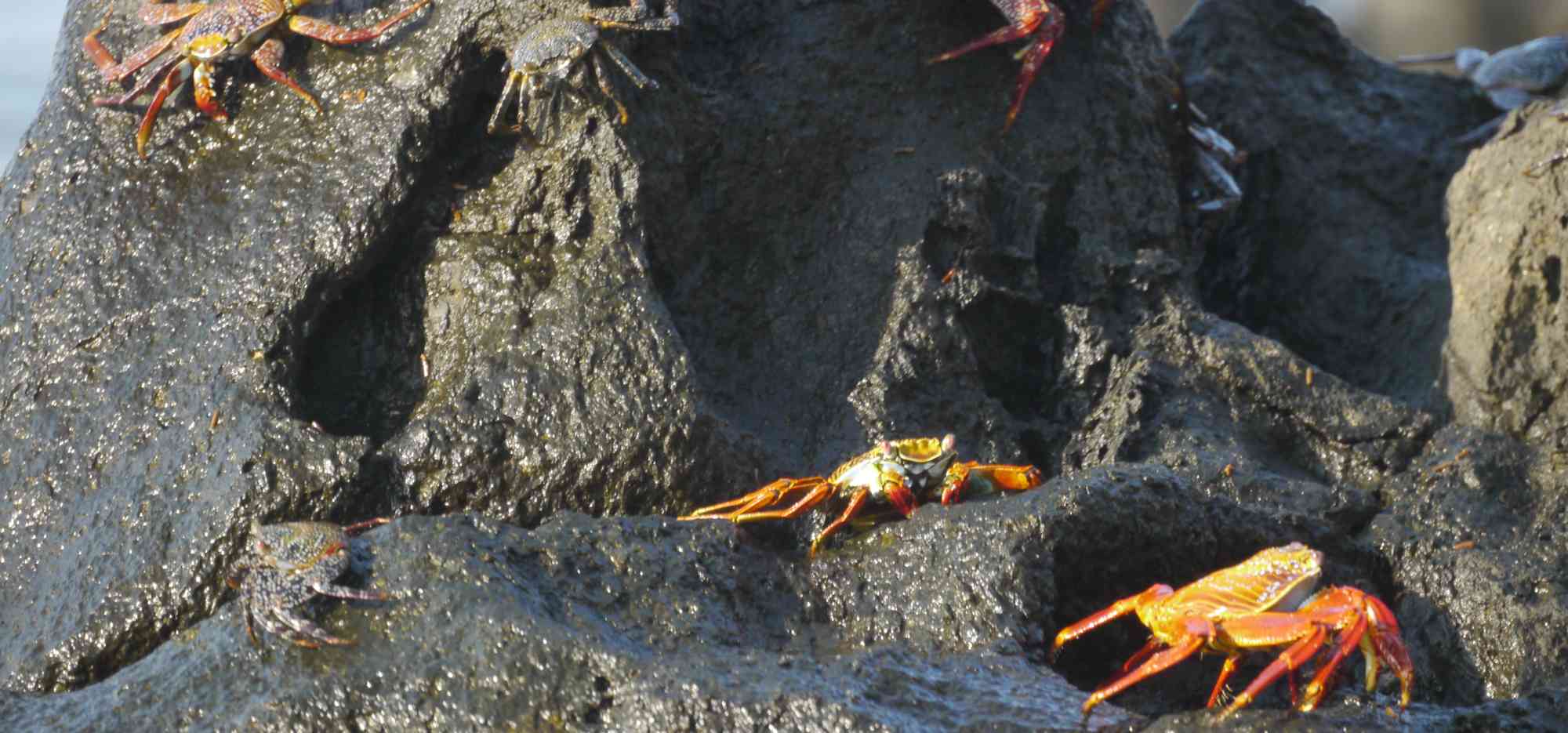
- Blue Lagoon Crabs
-
- walking to Blow Hole
-
- Filming Oceanic White Tip Sharks at Soccoro Island
-
- Plastic among Pumice
-
- Portage beach from Anchorage
-
- Surf entering Lagoon
-
- Toilet paper left by Marines from the Naval base
-
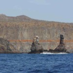
- Socorro West Side Towers
-

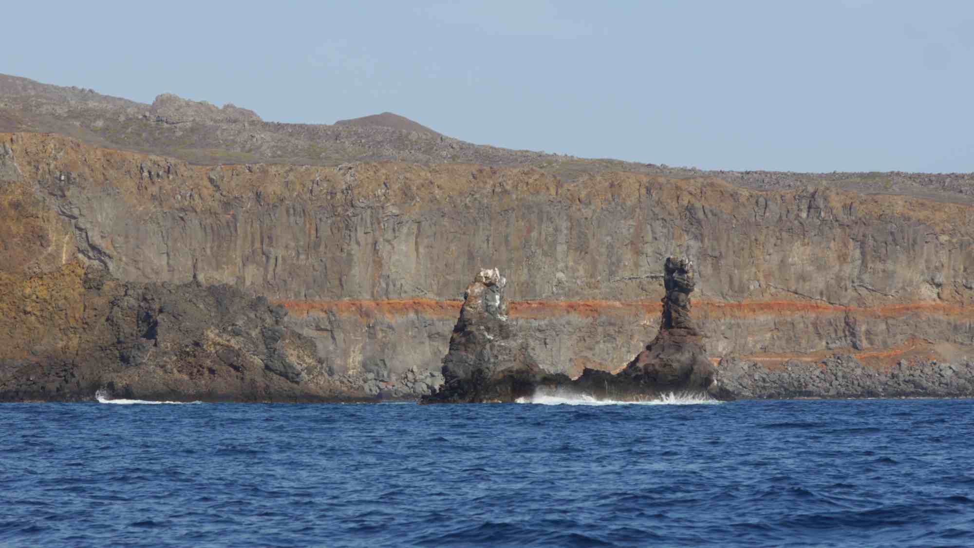
- West side of Socorro
-
- West Side Socorro
-
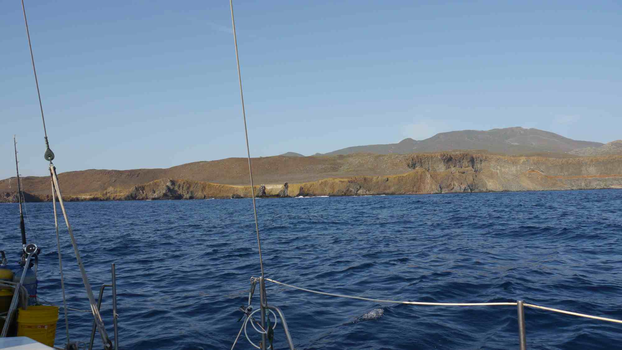
- beautiful anchorage
-
- Windsplitter from Beach
-
- Naval Base South Side of Socorro